


ONLINE MAGAZINE ISSN 2150-5128
VOL. 4 / NO. 1 INTERACTIVE PDF ![]()
Delaware is called the “First State” for being the first to ratify the Constitution, but it also ranks “first in flatness.” Delaware has the lowest mean elevation of all the U.S. states, at 60 feet. Its elevation ranges from sea level at the ocean beaches to nearly 448 feet above sea level on Ebright Road, near the Pennsylvania state line.

Delaware ranks as the second smallest state in size, with a total area of 1,982 square miles. The state is 96 miles long and ranges from 9 to 35 miles wide.

Delaware lies within a sea level rise “hotspot” where sea levels could rise faster and higher than elsewhere due to a combination of rising seas and sinking land. Sea level rise at Bowers Beach, Del., is climbing at a rate faster than anywhere else on the Atlantic coast.
Sources: DNREC, Delaware Geological Survey, U.S. Geological Survey

Although the Delaware coast lost sizable swaths of sandy beach, and some homes were swamped, the state largely dodged a demon named Sandy in October, as the freak storm saved its hardest punches for the New Jersey and New York coasts.
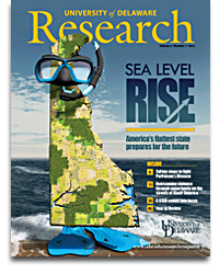
Yet the superstorm’s path of destruction along the East Coast has raised new questions and concerns about climate change, extreme weather, rising seas and what may lie ahead—a “new normal”—as UD’s Gerald Kauffman refers to it.
By the end of this century, 8 to 11 percent of Delaware could be underwater based on the state’s sea level rise planning scenarios of 0.5 meters (1.6 feet) and 1.5 meters (4.9 feet), respectively.
Source: Delaware Department of Natural Resources and Environmental Control (DNREC)
Is Hurricane Sandy the latest harbinger of climate change? Scientists point out that it is nearly impossible to associate a single meteorological event to climate change.
But what scientists do know, says Kauffman, who directs the Water Resources Agency at UD, is that sea levels have risen about 13 inches along the Delaware coast in the past century and continue to rise. The East Coast is a world hotspot for rising sea levels, and higher seas will only compound the impacts of future storms.
Kauffman is among several UD representatives who serve on the Climate Change Vulnerability Steering Committee convened by the Delaware Department of Natural Resources and Environmental Control (DNREC). Other UD faculty are on a state committee that has assessed Delaware’s vulnerability to sea level rise. That assessment, released by DNREC in September 2012, will guide adaptation strategies.
Delaware, the lowest state in elevation in the U.S., is standing tall in preparing for sea level rise. According to the state’s vulnerability assessment, 8 to 11 percent of Delaware could be underwater by 2100. Those percentages are based on sea level rise scenarios ranging from the conservative to the more aggressive, of
0.5 to 1.5 meters (1.6 to 4.9 feet), respectively. In either scenario, at stake would be acres of beach and marsh and thousands of homes in communities that give the state its character.
“Delaware has been the envy of other states for mobilizing to identify the risks and plan for the future,” Kauffman says.
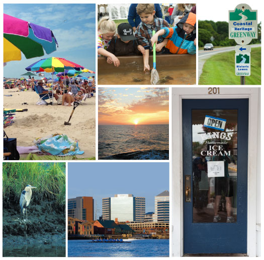
“Sea level rise will affect everyone—not just communities preparing for storms,” he warns. “It will affect what we pay in taxes, where and how we build our homes and highways, the places we work, our food and water, the wildlife around us and the recreation services we enjoy.”
What research is UD bringing to bear on such issues? Read on.
