

Giant map
Delaware Geographic Alliance brings giant National Geographic map to area schools
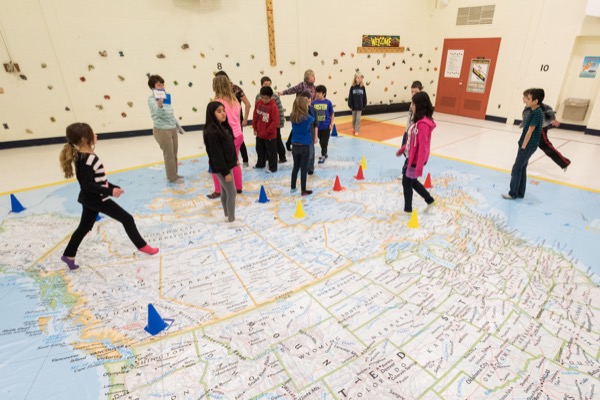
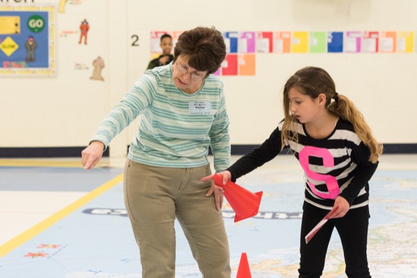
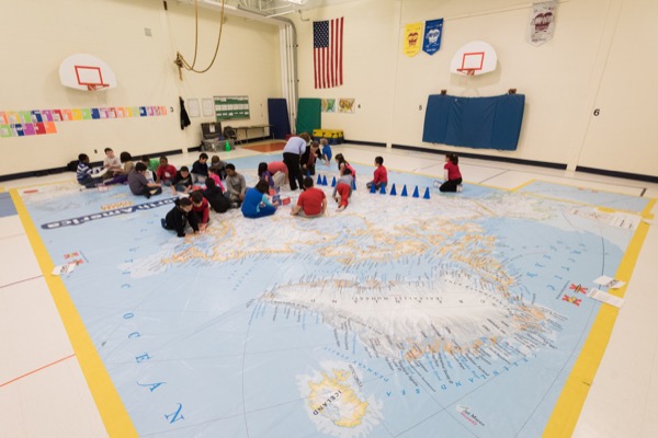
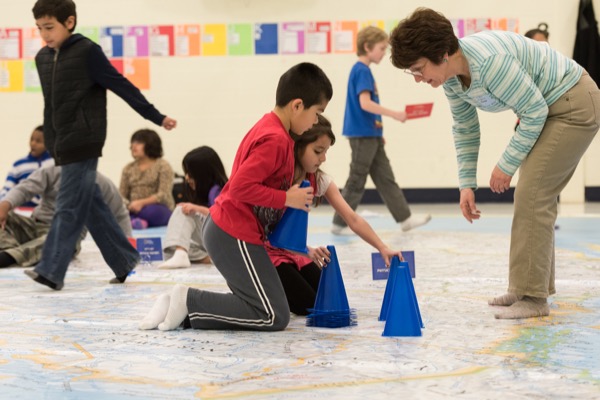
11:32 a.m., March 25, 2015--Jumping between capital cities in neighboring states and pretending to go on safari on National Geographic’s giant traveling map were among the exciting ways area K-12 students learned about geography last week.
The map was hosted at 10 Delaware schools by the Delaware Geographic Alliance, which is housed in the College of Earth, Ocean, and Environment’s Department of Geography at University of Delaware.
Campus Stories
From graduates, faculty
Doctoral hooding
DGA coordinator Maggie Legates explained that geography is about more than understanding the names of places, it also is about helping students develop a global perspective about why different regions are connected or important to one another.
Hands-on activities such as scavenger hunts to find mountain ranges, bodies of water and other geographical features bring out a child’s natural curiosity and create memorable connections, she said.
Other educational activities teach students important lessons about a country’s commerce, human culture and wildlife.
This is the first time that DGA has hosted the National Geographic maps at area schools.
“Geography is a critical component of both our state social studies and science curriculum standards. More importantly, geographic knowledge and spatial thinking are keys to future success in many career fields,” she said.
A geographic perspective offers a critically needed understanding of the relationships between human activity and the condition of the planet.
According to Legates, geo-literacy — how a person views, understands and interacts with the world — is becoming increasingly important in today’s global marketplace.
“Students with a deeper understanding of geography will be more informed and effective citizens, business people and voters,” she continued.
Geography in gym
At Clayton Elementary School, Lauren Shanklin, the school’s physical education and health teacher, used the map to integrate geography lessons into her gym classes.
Principal Deborah Chadwick explained, “Lauren likes to integrate other subjects into her lessons and the giant map was a great opportunity for the kids to see each of the states in perspective to each other and do some fun lessons.”
Partnering with DGA to bring the map to the school, continued Chadwick, was a valuable addition that allowed the students to learn about their space, the states and their environment in an active, cross-curricular way.
25 years and counting
Delaware Geographic Alliance (DGA) is a consortium of nearly 600 K-12 classroom teachers, professors, parents, professionals and school administrators devoted to strengthening geography education in Delaware.
Founded in 1989, DGA has become a trusted partner of Delaware's Department of Education, public school districts and allied agencies, especially the Social Studies Coalition of Delaware. In addition to outreach activities for K-12 audiences, DGA plays a key role in developing and enhancing state standards for geography education and developing tools for teachers entrusted with student instruction.
Housed within the Department of Geography, DGA collaborates closely with Department of Education’s state coordinators for social studies and science to:
- Provide free instructional materials for Delaware teachers;
- Conduct workshops and training opportunities for public and private school teachers and state parks educators across the state;
- Review and upgrade geography-related curriculum materials; and most recently,
- Introduce Common Core strategies and approaches for geography education.
Article by Karen B. Roberts
Photos by Evan Krape


