


Sea Grant updates
Delaware Sea Grant briefs Sen. Carper on recent research efforts


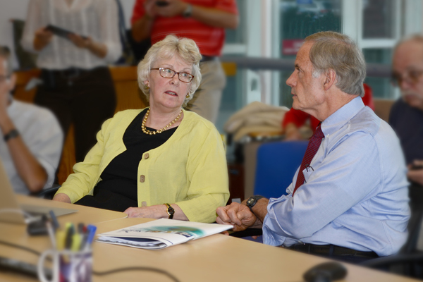
4:59 p.m., June 17, 2014--From coastal flooding apps to sophisticated satellite mapping, the University of Delaware’s Hugh R. Sharp Campus in Lewes is awash in technological advances. U.S. Sen. Tom Carper visited the campus recently for an update on current activities in the College of Earth, Ocean, and Environment (CEOE) and the Delaware Sea Grant College Program, and he left thanking researchers for scientific work that he sees benefiting generations to come.
“Each time I leave feeling fascinated and almost in a state of disbelief that we can achieve this level of technology,” Carper said.
Campus Stories

From graduates, faculty
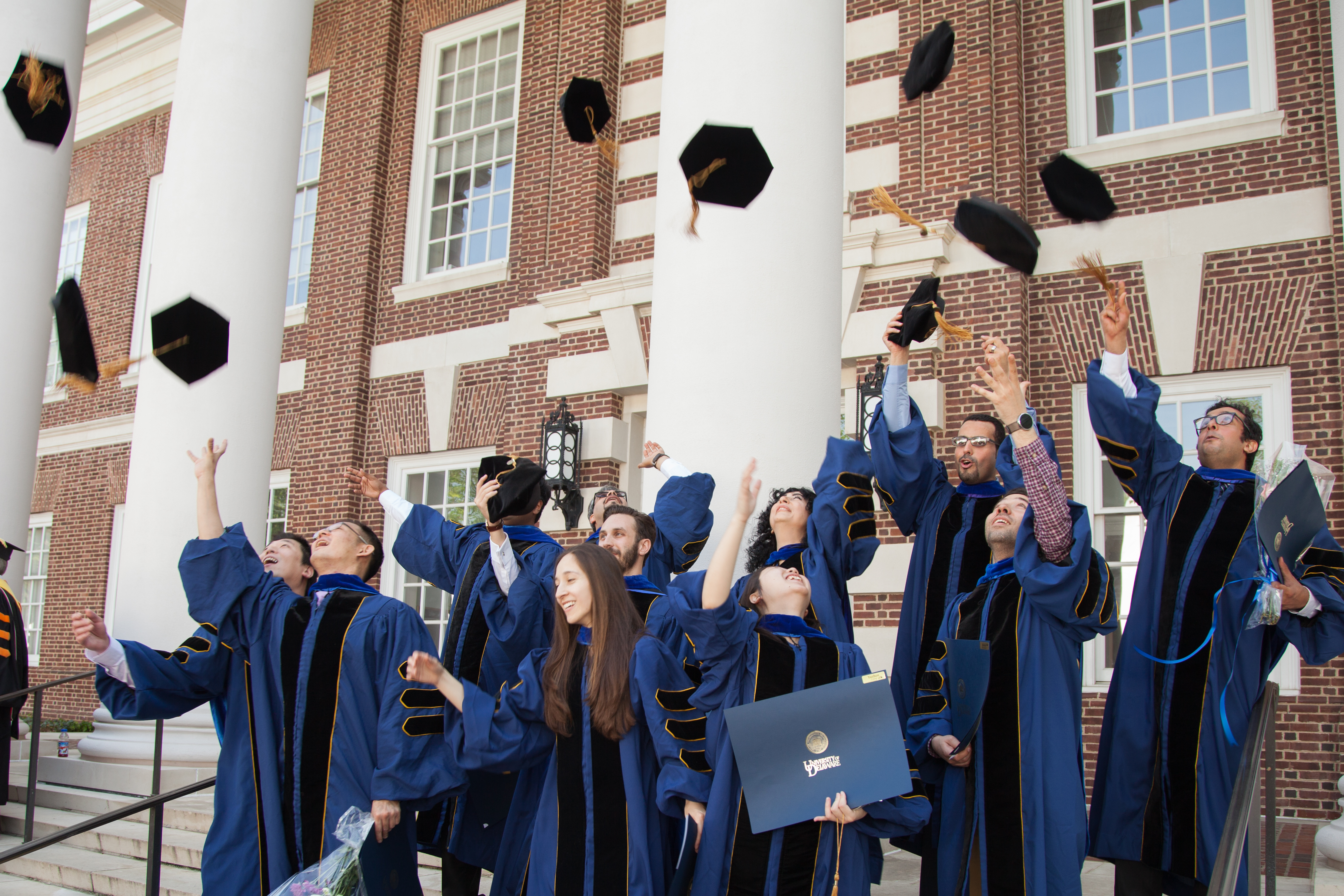
Doctoral hooding
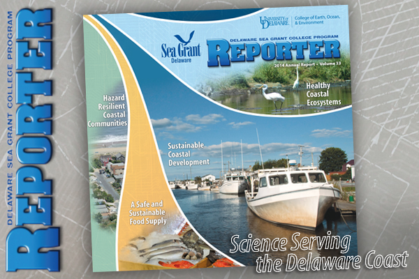
Delaware Sea Grant is a federal, state and university partnership focused on coastal issues that receives funding from the National Oceanic and Atmospheric Administration (NOAA), the state of Delaware and the University of Delaware, explained Nancy Targett, CEOE dean and Delaware Sea Grant director. The program receives about $1.3 million in federal support annually for a variety of research and education efforts.
As documented in the program’s newly released Reporter annual report, Delaware Sea Grant addresses hazard resilience, seafood safety, sustainable development and ecosystem health. Associate Director Jim Falk shared recent projects, including economic strategies for traditionally maritime communities, awareness programs on beach injuries and seafood safety initiatives.
Delaware Sea Grant also helps municipalities better prepare for hurricanes, sea level rise and other coastal threats that damage property and potentially can raise insurance costs.
State climatologist and CEOE professor Dan Leathers, who receives grants from Delaware Sea Grant, demonstrated a new coastal flood monitoring system that feeds environmental data into a website to show areas around the state where rivers and coastal areas are submerged. The online tool warns municipal official of impending storms and predicts where coastal flooding will occur based on weather conditions. A smartphone app is under development to help emergency personnel inform residents of flood dangers.
“It’s been a tool that a lot of other states have looked at, especially after Sandy, and would like to replicate,” Leathers said.
In fact, the monitoring system may serve as a model for other states in the Mid-Atlantic Coastal Resiliency Institute (MACRI), formed this week to understand the impact of climate change-related issues like extreme weather and sea level rise. MACRI participants are the University of Delaware, NASA, U.S. Fish and Wildlife Service, U.S. Geologic Survey, Marine Science Consortium, College of William and Mary, University of Virginia, University of Maryland and the Nature Conservancy.
Wrapping up Carper’s visit, Delaware Sea Grant researcher Matt Oliver showed how a Google Earth mapping display with live data feeding in can help scientists predict the location of federally protected Atlantic sturgeon in real-time. The tool could help fishermen avoid accidentally catching sturgeon when they are trying to catch monkfish and other commercial species.
“This kinds of efforts help make coastal communities stronger and better prepared for a sustainable future,” said Delaware Sea Grant’s Nancy Targett.
Article by Teresa Messmore
Image by Tammy Beeson
Photo by Leah Dodd