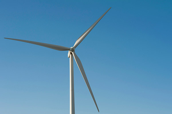
A place for offshore wind
Researchers use weather model to recommend East Coast offshore wind farms
7:56 a.m., April 24, 2012--Most energy experts agree that cheap, clean, renewable wind energy holds great potential to help the world satisfy energy needs while reducing harmful greenhouse gases. But how can fluctuating wind power be made more consistent to match our power needs?
Many people think this will require huge batteries to level out wind power fluctuations, but that would be expensive. A new study suggests that the answer may lie in weather diversity.
Research Stories
Chronic wounds
Prof. Heck's legacy
In a study recently published in Geophysical Research Letters, a team of researchers from the University of Delaware and Stanford University harnessed a sophisticated weather model to recommend optimal placement of four interconnected wind farms off the coast of the eastern United States, a region that accounts for 34 percent of the nation’s electrical demand and 35 percent of its carbon dioxide emissions.
“Traditionally, wind developers have just placed wind farms where the wind is strongest,” said co-author Willett Kempton, an offshore wind researcher and professor in UD’s College of Earth, Ocean, and Environment. “This new study shows if we start from a more sophisticated meteorological model, we can build a set of connected wind farms for which the combined power is more level and uniform.”
In the example grid layout, the total maximum capacity was 2,000 megawatts (MW), roughly equivalent to the capacity of one-and-a-half conventional coal-fired power plants. Each wind farm would be 500 MW, consisting of 100 turbines rated at 5 MW for each turbine.
“An offshore grid as an extension of the onshore grid in this region will improve reliability, while reducing congestion and energy price differences between areas,” said Mike Dvorak, the lead author of the study and a recent doctoral graduate in civil and environmental engineering at Stanford, now teaching at the University of California Berkeley.
An optimal set of connected wind farms was located in the waters from Long Island, N.Y., to Georges Bank, a shallows about 100 miles to the east of Cape Cod. The nearshore locations take advantage of consistent sea breezes that occur naturally due to the daily difference in temperature between land and sea. The offshore farms experience stronger, though less regular, frontal storm activity. Preference was given to locations where the wind is stronger during times of greater electrical need.
Wind farms on land, for instance, tend to see daily peak output at night, when energy demand is lower. Power managers often think of this inland meteorology as a characteristic of all wind power, but it is not true of offshore wind power. By combining coastal and further offshore locations, an even better pattern was achieved, much different from land-based wind in this region.
The study also chose to interconnect the offshore farms. In Europe, today’s offshore wind farms are connected individually to the onshore grids. In the United States, the Google-backed “Atlantic Wind Connection” is a commercial effort already planning to connect offshore wind farms together.
A prior study led by Kempton showed that this type of offshore transmission over long distances can have a leveling effect. The new study shows, for the first time, that even short distances of offshore transmission can optimize wind output by carefully selecting wind farm locations.
“The wind resource along the East Coast of the United States is phenomenal,” said co-author and UD faculty member Cristina Archer. “Average wind power generation at some of these locations can be twice as high as that at a wind farm over land. Also, by doing this ‘smart’ interconnection, we were able to reduce variability by almost 40 percent.”
Among its findings, the new model recommended a farm in Nantucket Sound, precisely where the Cape Wind farm has been proposed. Opponents say the tall turbines of the Cape Wind site would diminish Nantucket’s considerable visual appeal. But no one has looked at the meteorological advantages of that site in comparison to other wind sites.
In the new study, a wind farm in the area of Cape Wind is connected with two sites on Georges Bank, far from view in an area better known for its once prodigious quantities of cod. The fourth site is off central Long Island.
“This paper should be seen as a tool for energy planners to better inform their renewable energy decisions across a densely populated area,” said Mark Jacobson, co-author and Stanford professor. “It is an opportunity to collaborate on a shared system that reduces costs while benefitting a large and important center of electrical demand in the U.S.”
This research was supported by the Charles H. Leavell Graduate Fellowship and the U.S. Environmental Protection Agency and the Otto Mønsted Foundation. The NASA Advanced Supercomputing (NAS) Division and NCAR Computational and Information Systems Laboratory (CISL) provided access to computational resources and global weather datasets, respectively. Kempton was supported by the Otto Mønstead Foundation.
Adapted with permission from an article by Andrew Myers of Stanford University
Photo by Kathy F. Atkinson


