HEED_Award_Profile_Images_R1
HEED_Award_Profile_Images_R1
Web Photo Gallery created by Adobe Lightroom.
GEOG-Nepal_Earthquake_Mapping_Project-050615

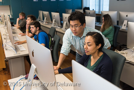
Students in Byung yun Yang's GEOG473 class using high-resolution satellite images and Open Street Map to update maps of Kathmandu, Nepal in the wake of the devastating 7.8 magnitude earthquake which hit Nepal on April 25th, 2015. The students are identifying buildings, roads, and other man-made structures as well as adding shelter locations and evacuation centers that humanitarian organizations such as the American Red Cross and the government of Nepal can use. - (Evan Krape / University of Delaware)