Aerial education
Landscape ecology class flies in hot air balloon to learn about habitat complexities
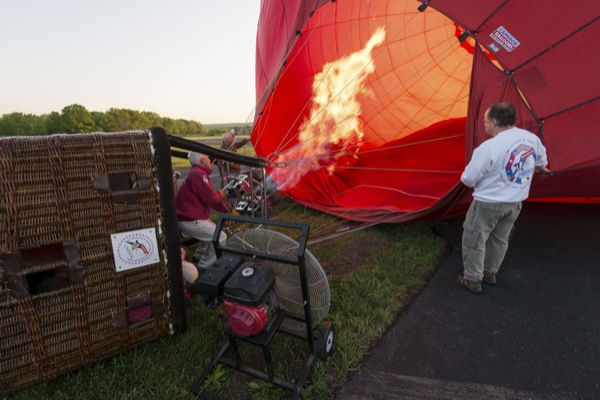
8:25 a.m., June 24, 2014--To get his landscape ecology students to appreciate the full scope of the complexities of landscapes in the real world and not just through images on their computer screens, the University of Delaware’s Jeff Buler ended the year on a high note, taking his students up in a hot air balloon.
The trip was partially an homage to the Frenchman Felix Tournachon, also known as Nadar, who took the first aerial photograph from a hot air balloon in 1858 that helped inspire the field of landscape ecology.
Campus Stories
From graduates, faculty
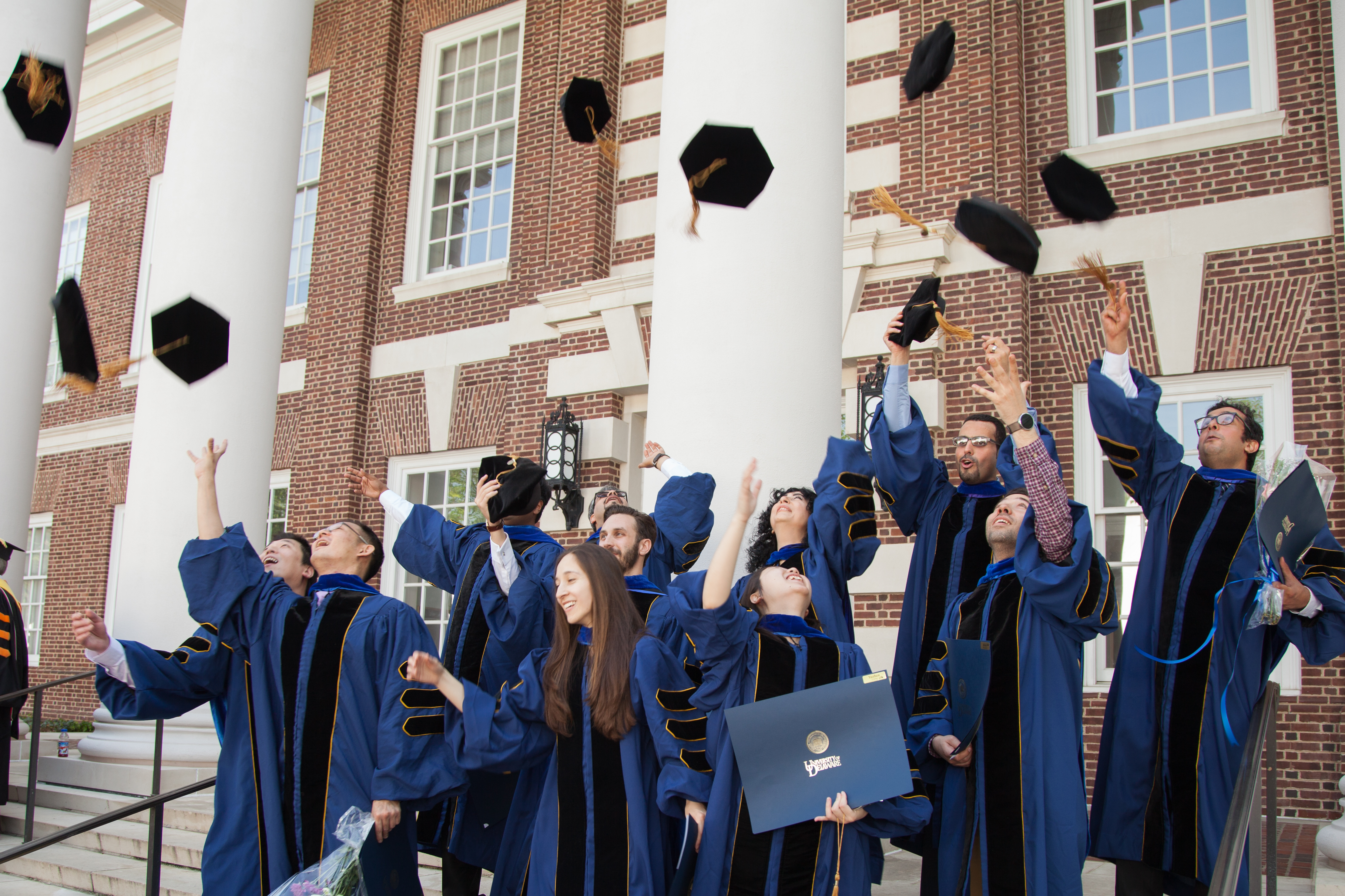
Doctoral hooding
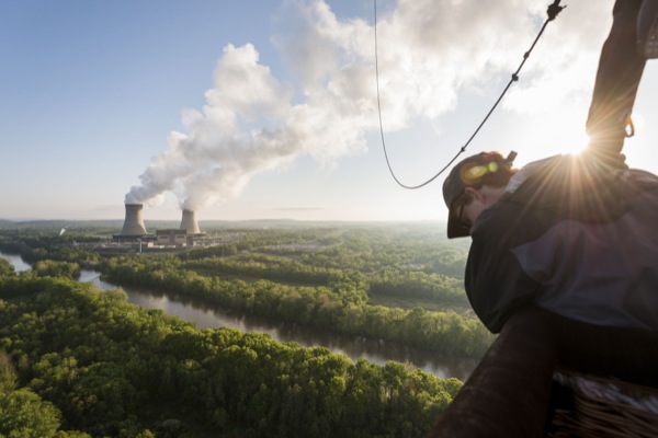
The goal of the trip was to see firsthand landscape elements, such as habitat patches and corridors, and to be able to delineate how energy flows through ecosystems, such as water through a watershed.
Students were also able to see natural disturbances, geologic features, how humans shape a landscape and the lineages between habitats and ecosystems.
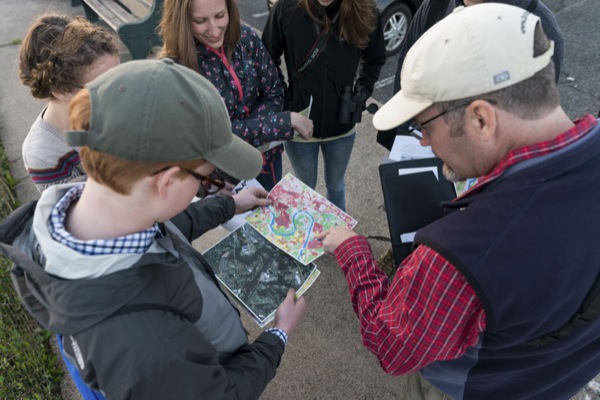
“Nowadays we have all this satellite imagery and things that we work with to quantify the landscape, and we sort of break it down into these simple elements and simple land cover types -- things which don’t really capture all the complexity of the real world,” said Buler, assistant professor in the Department of Entomology and Wildlife Ecology.
Buler said that he doesn’t know of any other landscape ecology class that has used a hot air balloon to study landscape ecology and that it might be something unique to UD.
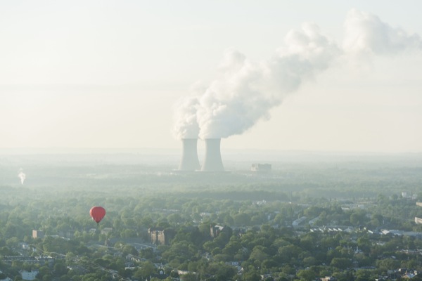
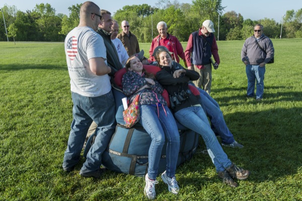
The group included six students total – four graduate students and two undergraduates – and took off at dawn, flying out of Pottstown, Pennsylvania, and landing in Royersford after an hour-long ride.
Buler said that by taking that route, the students got to see the spectrum, from open country to urban development to state game land.
“These are wildlife conservation majors and graduate students and our interest is in landscape ecology from the perspective of wildlife management. We flew over some state game lands and they could actually see how they were managing the forest and the open areas for wildlife,” said Buler.
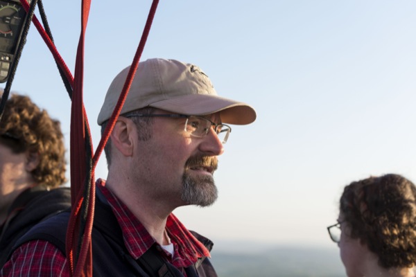
Once aloft in the balloon, Buler explained that he was able to point out the various features of the landscape that the class had been learning about all semester long.
Will Macaluso, a master’s student in the College of Agriculture and Natural Resources, said the ride turned out to be a lot more informative than he had imagined. “Before going up in the balloon, I didn’t expect to gain much information from the balloon that I couldn’t gain from looking at satellite imagery,” said Macaluso. “However, aerial imagery doesn’t capture the depth of the landscape that you can see from a hot air balloon.”
Macaluso said that from the balloon, he was able to see multiple layers of canopy in forested areas that can be hard to differentiate in satellite images, as well as assess the age, species and general health of the diverse tree species in the landscape.
Kevin Archibald, a senior in the College of Arts and Sciences, said that from his vantage point in the hot air balloon, “it was quite easy to identify elements of the landscape such as landscape patches, corridors and agricultural matrix.”
Archibald said he was “struck by was the complexity of real landscapes when compared to their digital representations” and added that while it is easy to assume that digital maps are perfect representations of real landscapes, “the truth is that real landscapes have near infinite levels of complexity at finer and finer scales. Being able to see this actual complexity gives new meaning to elements of the landscape.”
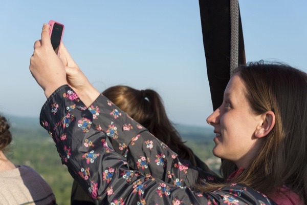
Both students said that in addition to being informative, the hot air balloon ride was a fun experience and one that they hope is carried on in future classes.
Article by Adam Thomas
Photos by Evan Krape


