


Sea Grant demonstrates weTable
New use of available technology shows promise for facilitating public feedback


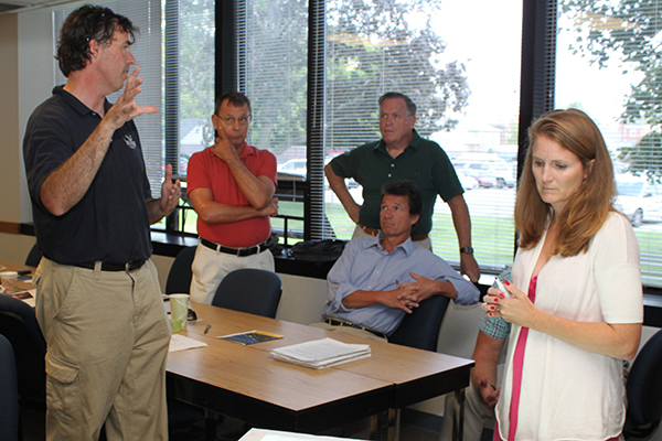
1:26 p.m., Sept. 5, 2012--During the annual staff retreat of the University of Delaware’s Institute for Public Administration on Aug. 22, Ed Lewandowski of the College of Earth, Ocean, and Environment demonstrated a technology application based on the popular Wii — the “weTable.”
Lewandowski, a coastal community development specialist with the college’s Sea Grant program and coordinator of UD’s multi-college Sustainable Coastal Communities Initiative, has been demonstrating the weTable extensively on the East Coast.
FYI Stories


June 6: UDid It! Picnic
2FA protects you
The weTable configuration was originally imagined as an ad hoc workshop tool by Placeways, Inc., a firm specializing in GIS visualization and planning software. The technology was further developed by Texas Sea Grant at Texas A&M University.
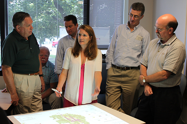
When IPA associate policy scientist Nicole Minni, who works in close proximity to Lewandowski on UD’s Hugh R. Sharp Campus in Lewes, was introduced to this tool, she immediately saw its value for use with geographic information systems (GIS) — her specialty.
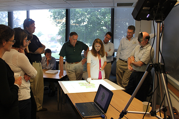
The weTable concept is simple. A professional tripod holds a digital projector, which receives input from a standard laptop computer, and projects the computer screen’s image on a tabletop. A Wii remote control, connected with the laptop, is positioned on top of the projector to point to the table.
Using an infared pen and Smoothboard software (based on white board technology), one can interact and control the computer, open files, move windows and “mark-up” or annotate using the pen on the table surface. In addition, the software allows the user to capture a screen shot in real time for subsequent use or reference.
“This relatively inexpensive, off-the-shelf technology allows for a whole new level of collaboration and public interaction that is impossible to do with laptops, desktops, and screen presentations,” says Lewandowski. “Its use is highly applicable to the public-outreach mission of many Sea Grant and university programs and could inspire new ways of sharing data and conducting geospatial planning efforts.”
IPA staff members, who frequently facilitate public meetings where municipal land-use issues are discussed, viewed the weTable as a potential means of obtaining collaborative public feedback, as constituents and stakeholders can gather around the table, discuss, and sketch out ideas on GIS maps.
Minni adds, “In terms of our municipal planning efforts, having the public use the weTable to interact with the GIS technology and make changes to maps ‘on-the-fly’ saves time, enhances the conversation around the table, and empowers [citizens] to be an integral part of the planning process.”
Article and photos by Mark Deshon