PREVIOUS HIGHLIGHT
APPLICATION OF GLOBAL
POSITIONING SYSTEM (GPS)
TO TRAVEL TIME AND DELAY
MEASUREMENTS
Researchers at the University of Delaware, working in conjunction with the Delaware Department of Transportation (DelDOT) and the Delaware Transportation Institute, have recently made use of global positioning technology to investigate travel time and delay on Delawares roads. This unique application of GPS technology has already been shown to be of benefit in reducing the time and labor associated with data collection; furthermore, it holds great potential for use in traffic studies and transportation engineering.
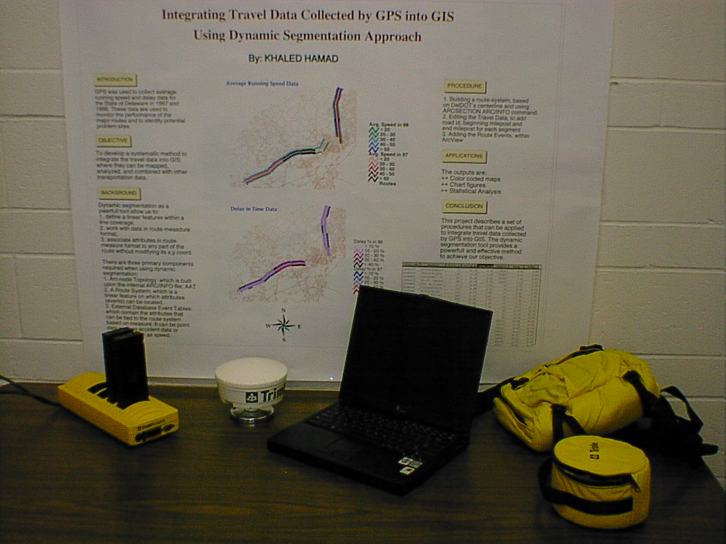
The Global Positioning System (GPS) is a satellite-based positioning system operated by the U.S. Department of Defense. Using small hand-held receivers, users of the system can determine their 3D position on earth, in real-time, accurately to within several inches. Originally developed for use and operated by the U.S. military, the GPS has found numerous applications in the private sector, for such things as surveying, navigation and vehicle tracking.

With a receiver mounted to the roof of their vehicle, researchers use the GPS to automatically gather position-time information of the vehicle, as they travel along different routes of interest. At the same time, attribute information is logged along with the data that describes reasons for delay or stoppage. The information is subsequently processed to determine trip length, running time, trip time, stopped time, travel speed and running speed.
Thus far work has focused on establishing the applicability of this technology to travel time and delay measurement, comparison of the GPS approach to manual data collection methods, and the compilation of travel time and delay information on Delawares roadways. In a rigorous comparision of the GPS approach to traditional methods, results show that GPS not only provides accurate measurements using its differential correction, but also determines exact coordinate positioning and speed. Furthermore, the use of GPS proves to be much more efficient in terms of time and labor, and is more consistent. Through an analysis of means and variance, researchers have determined the minimum number of runs required to achieve a 95% confidence level.
To date, researchers have obtained data for the mean peak travel speed, total peak delay, and mean peak running speed for 1997, 1998, and 1999 on 64 major roadways throughout the State of Delaware. In the near future, this information will be used in conjunction with a Geographic Information System (GIS)-based map of Delaware, to show the average congestion index of each roadway to the traveling public. This information will soon be available on DelDOT's internet web site.
For more information on this project contact:
Professor Ardeshir Faghri, Ph.D.
Department of Civil and Environmental
Engineering
University of Delaware
Newark, DE 19716
(302) 831-2426
Email: Faghri@ce.udel.edu