


The award focused on Callahan's efforts to build a statewide geospatial data infrastructure. He was cited for his leadership and expertise in creating or expanding a range of network-accessible mapping and data distribution services, including web-based, interactive UD campus maps, an interactive, integrated online base map for Delaware, a clearing house for information (metadata) about Delaware's geospatial data; and other web sites providing easy access to data sets and imagery.
According to Mike Mahaffie, state GIS coordinator, “One of the great things about Delaware's GIS community is that it is filled with people ready to help you realize your ideas. John Callahan is one of those people, and he's one who also shows you dozens of possibilities that build on and improve your ideas. John has been a force for change and a valuable resource for all of us in GIS in Delaware.”
According to Callahan, GIS is a way of looking at the environment in terms of natural and human interaction and integrates real-world problems with geographic information through technology. Using GIS technology, such fields as census demographics can be studied geographically (by zip codes, cities or counties) rather than statistically to discover trends.
Callahan is the GIS “answer man” on campus as the primary support person for GIS software, and there are 40 to 50 departments on campus that use GIS, he said. In the past 10 years, use of GIS software has grown rapidly because personal computers are now powerful enough to handle much more information, and the Internet is so prevalent, with agencies publicizing and exchanging information, Callahan said.
For example, UD's Disaster Research Center can use GIS to study before and after aerial views of a disaster site, study road networks and water supplies, and run 'what-if' scenarios. It's a way of studying and bringing together all the different layers, he said.
Physical sciences can use GIS for tracking sea ice, studying ocean currents, using remote sensing and field studies, and also creating models, Callahan said.
Callahan currently serves on the Delaware Geographic Data Committee, a cooperative effort among state agencies, UD, county and municipal governments and others to build a Delaware GIS community and improve the coordination and use of GIS and spatial data in Delaware.
Callahan was lead designer on the Delaware Data Mapping and Integration Laboratory (DataMIL) team of UD and state employees, which received the U.S. Geological Survey highest honor, the 2003 John Wesley Powell award, for developing the foremost pilot project of the National Map using Internet mapping service technology. He also played an important role in the transition when DataMIL became part of the state government in Dover.
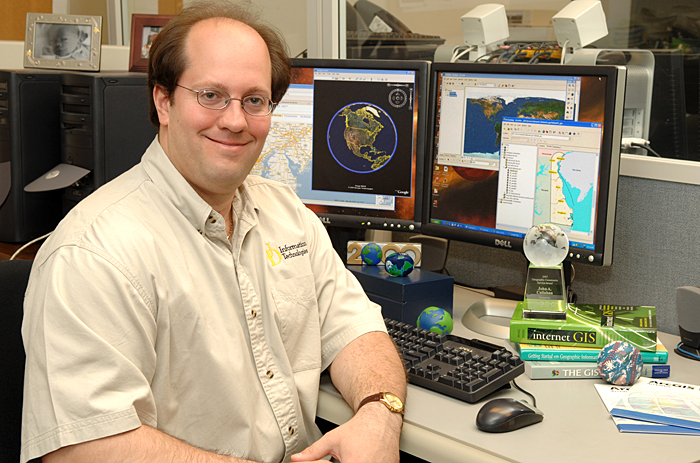
Joining the UD staff in 2001, Callahan received his degree in physics and mathematics from Temple University and has spent several years in the UD Department of Geography's graduate program. He said he is largely self-taught in a rapidly expanding field and is always looking into the latest geospatial technology, giving advice, working with students and staff, teaching classes and talking at conferences. Callahan said he loves what he is doing. “Even if I won the lottery, I would continue to do what I'm doing now,” he said.
Article by Sue Moncure
Photo by Kathy Atkinson